A database of medieval charters and tools for textual analysis.
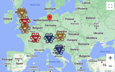
A database of medieval charters and tools for textual analysis.
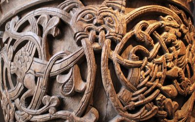
Iconographic index of Baptismal Fonts from early Christian period to the 17th CE.
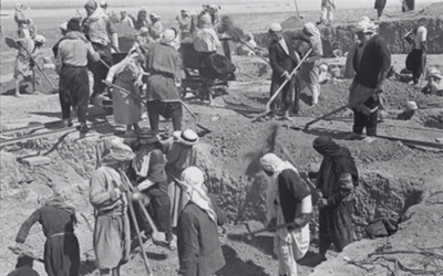
Using modeling, visualization, and the OCHRE software to understand the archaeology of the Near East.
Using digital mapping and archives to consider the place of food production in Italian-Canadian Cultural identity throughout the last century.
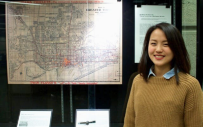
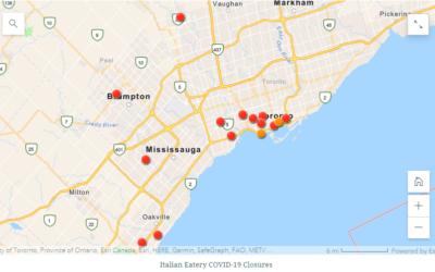
An examination of historical records to locate and map spaces associated with sex work in Toronto from brothels to courthouses.
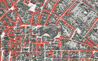
A powerful GIS mapping tool allowing historians to uncover social networks, economic currents, and the sensory life of Florence.
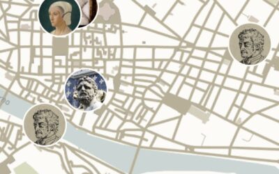
An app enabling users to explore lives and stories from renaissance Florence through a 3D map.