By Ian Turner
As the phrase suggests, the ‘spatial turn’ in Digital Humanities implies both a reflexive turn-about onto past practice as well as a turn-towards a different kind of future for critically minded research. The three speakers at the second CDHI Lightning Lunch of this academic year (Monday, November 15, 2021) each shared their own reflective and prospective engagements with field sites in Chennai, Ontario, and Crete. Up for conversation were issues of epistemological bias, the translation of data into creative and human representations of space, and collaboration with non-institutional actors. Together, their reflections challenged the audience to look at a space, and then look at it again differently.

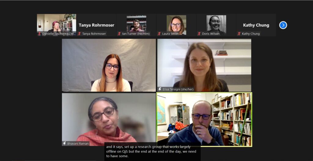
Prof. Bhavani Raman (Associate Professor, Department of Historical and Cultural Studies at UTSC) opened the discussion by introducing her Geographic Information Systems (GIS) project “Decolonizing Archives of Water: Data Justice and Critical Cartography for a Postcolonial City, Chennai.” The south Indian city of Chennai is prone to both severe flooding and severe draught. As Prof. Raman explained, recent efforts to conserve water and manage its flow are bound up with a certain nostalgia for the Chennai designed by British colonial engineers: a time when, it is imagined, Chennai enjoyed an equilibrium between land and water. The consequences of this nostalgic vision of “pristine nature” include the eviction and resettlement of marginalized communities. In response, Prof. Raman asks: How can we re-describe water and land relations, bringing to the fore the “right to the city”, where land/water demarcations are replaced by seasonal dynamics and degrees of “wetness”? Maps, she argues, are instrumental in the contemporary struggles over the city, central reference points in public hearings. Digital maps amplify the field of engagement, allowing people to reconnect with the map through affect and imagination.
Marcel Fortin (Head, Map and Data Library) followed with an overview of his collaborative Ontario Historical Maps project begun in the early 2000s. Fortin and colleagues have been digitizing 19th century commercially produced County Maps of Ontario that contain information on land ownership and occupancy. The technical challenge of scanning these massive brittle maps involves re-assembling high resolution photographs of sections, reconstructing these through georeferencing, and creating a feature layer in GIS with the names of the occupants—all of which are now online and name searchable. Fortin described the boon his team received through crowdsourcing, whereby interested members of the public can use a separately developed app to add data for incomplete county maps. To the 100,029 names imputed from 2003–2019, an additional 57,248 have now been added, many of which were added during the COVID-19 pandemic.
The final contributor was Tia Sager (PhD Candidate, Department of Art History and inaugural CDHI grad fellow) presenting her project, “Exploring Cultural Constructions: 3D Models of Final Palatial and Postpalatial Architecture on Crete.” Sager explained her shift away from macro-analysis and the static two-dimensional representation of the built environment as a focus on micro-narrative, single site, individual structures. Space Syntax analysis, Sager continued, allows one to ‘read’ a building from a two-dimensional plan to a graph emphasizing depth, as well as to the track incremental changes to a space through time and across occupational periods. To incorporate the human dimension, Sager turns to phenomenology, the embodied experience of moving through the space, by using 3D scans and adding modeling to create convincing digital illustrations of reconstructed archeological sites.
Taken together, the three presentations offered productive questions and approaches for dealing with historical archives—be they colonial maps or archeological remains. Each presenter stressed the importance of recognizing the limitations of spatial representations either on account of the epistemological commitments of their makers or issues with technology and users. Prof. Raman pointed out the privilege British colonial maps grant to property and its legal centrality, a preoccupation shared by Fortin’s archive. For Prof. Raman, the laborious “artisanal approach” of drawing water features employed by her team and the pairing of data with creative collaborative writing, story maps, and pedagogical stories (when the GIS data is eventually released online) express a concern with accessible, creative, and credible datasets curated to enrich map literacy.
Likewise, Fortin acknowledged his team’s commitment to investigating how Indigenous voices might be brought in, while also pointing to the colonial erasure of Indigenous forms of ‘mapping’. Fortin pointed out that, despite the absence of the ‘map’ as a relevant technology for groups in the past, it may be relevant now, and he indicted that he is also involved in with memory mapping.
Sager argued that the inherent methodological bias of any map and the invention of space through data and illustration can be mitigated through employing multiple tools and multiple mapping strategies. As Fortin added, we as map users tend to rely on a select few authoritative or ‘true’ maps, but there is a need to look at many maps and be comfortable approaching different methods for visualizing space. At the same time as collaboration with diverse users of spaces is desirable for representing alternative mappings, the presenters also recognized the difficulty in trying to connect different mapping tools and systems with each other, many of which are not set up for non-institutional collaborators. Nevertheless, the presenters’ contributions all make a powerful statement for what Prof. Raman defined as the need of map literacy in the digital age.
A recording of the Lightning Lunch is available on YouTube. To join the discussion on Twitter, please use the hashtag #CDHITalks and follow @UofTDHN. If you are interested in learning about StoryMaps, please join us on Wednesday, November 24, 2021 for the CDHI Praxis Workshop: Getting Started with ArcGIS StoryMaps, facilitated by Marcel Fortin. For more information on this workshop and other events, please visit the CDHI Events page.
Ian Turner is a PhD Candidate in the Department of Religion and an inaugural CDHI fellow at the University of Toronto. His doctoral research looks at how the Newar community in Nepal’s Kathmandu Valley has drawn on Indigenous traditions of Buddhism and Hinduism through recent decades.
